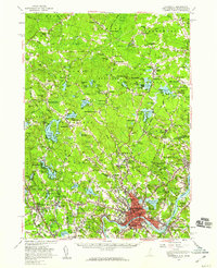
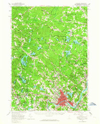
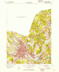
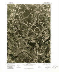
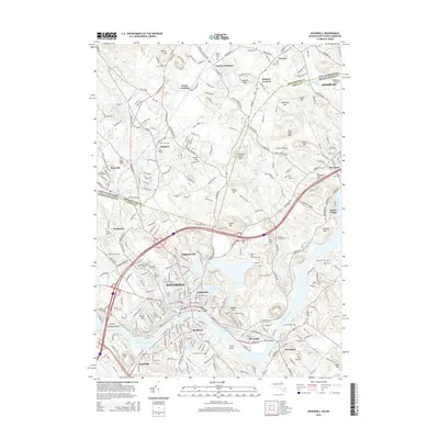
1956 Map of Haverhill
USGS Topo · Published 1959About this map
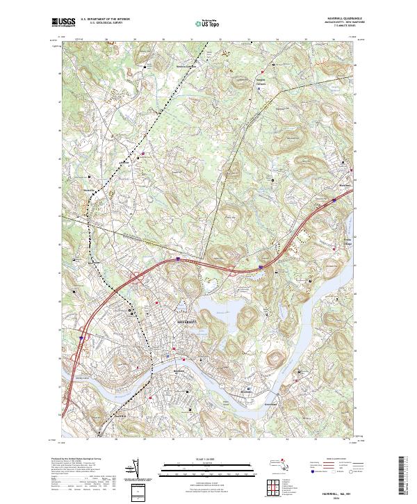
Boston and Maine Railroad lines dominate the transportation geography of the late 1950s across this borderland between Rockingham and Essex counties. The industrial character of Haverhill and Salem Depot contrasts with the dense cluster of ponds and lakes to the north, such as Great Pond and Canobie Lake. Local history is deeply embedded in the landscape, from the Whittier Birthplace near the Merrimack River to a significant concentration of early community centers like Newton Junction and Atkinson Depot. The map records a critical era of post-war growth where traditional mill infrastructure, seen at Haseltine Millpond and Sargent Millpond, sits alongside expanding residential settlements. Extensive school systems, including the Duston Sch and Pollard Sch, reflect the mid-century population shifts that were reshaping towns from Sandown to Merrimac.
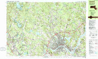
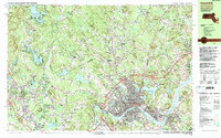
Find a feature on this map
178 named features on this map. Tap any name to fly to it.
Don’t see what you’re looking for? This feature index may not catch every label — zoom into the map to look around manually.
Map Details
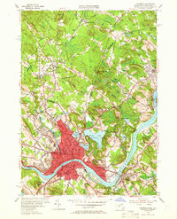
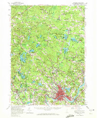
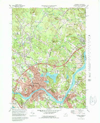
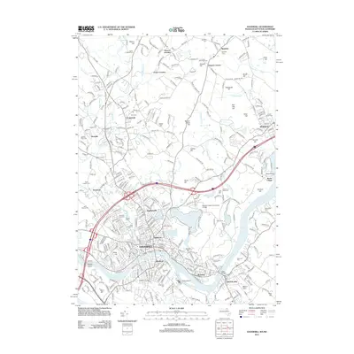
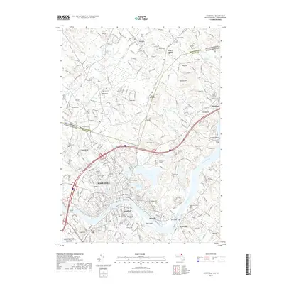
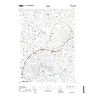
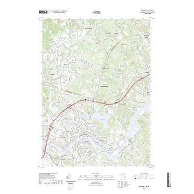
Editions of this 1956 Haverhill Map
3 editions found
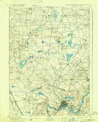
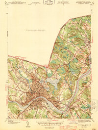
Historical Maps of Haverhill Through Time
17 maps found

1888 Haverhill
Essex County, MA

1890 Haverhill
Essex County, MA
1893 Haverhill
Essex County, MA
1943 Haverhill
Essex County, MA
1952 Haverhill
Essex County, MA
1955 Haverhill
Essex County, MA
1956 Haverhill
Essex County, MA
1972 Haverhill
Essex County, MA
1977 Haverhill
Essex County, MA
1985 Haverhill
Essex County, MA
1987 Haverhill
Essex County, MA
2012 Haverhill
Essex County, MA
2015 Haverhill
Essex County, MA
2018 Haverhill
Essex County, MA
2021 Haverhill
Essex County, MA
2023 Haverhill
Essex County, MA
2024 Haverhill
Essex County, MA