
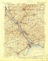
1942 Map of Havre De Grace
USGS Topo · Published 1942About this map
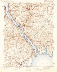
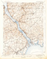
The Conowingo Dam and its massive Power Plant dominate the river landscape of this 1940s survey, marking a period of significant hydroelectric development on the lower Susquehanna River. The map captures the complex geography where the river meets the Chesapeake Bay, featuring the prominent industrial and transport hub of Havre de Grace and the neighboring Veterans Hospital at Perry Point. To the north, the historic Mason and Dixon Line serves as the political boundary between Maryland and Pennsylvania, cutting through rural communities like Rock Springs and Sylmar.
Find a feature on this map
130 named features on this map. Tap any name to fly to it.
Don’t see what you’re looking for? This feature index may not catch every label — zoom into the map to look around manually.
Map Details
Editions of this 1942 Havre De Grace Map
4 editions found
Other maps of this area

1893 · Gunpowder
USGS Topo · 1:62,500

1898 · Elkton
USGS Topo · 1:62,500

1898 · Tolchester
USGS Topo · 1:125,000

1899 · Dover
USGS Topo · 1:125,000

1900 · Elkton
USGS Topo · 1:62,500

1900 · Cecilton
USGS Topo · 1:62,500

1900 · Havre De Grace
USGS Topo · 1:62,500

1900 · Betterton
USGS Topo · 1:62,500

1901 · Belair
USGS Topo · 1:62,500

1901 · Gunpowder
USGS Topo · 1:62,500