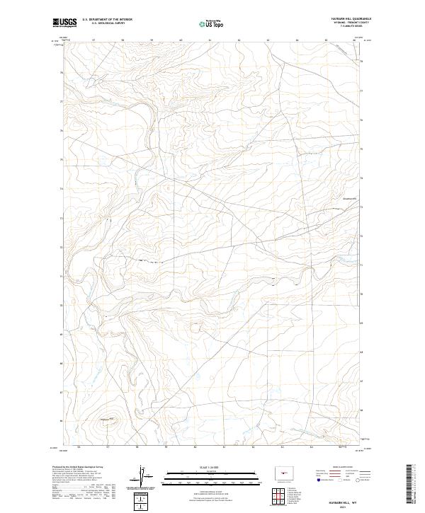
2021 Map of Haybarn Hill
USGS Topo · Published 2021About this map
Haybarn Hill rises in the southwestern portion of this Wyoming landscape, marking a terrain defined by its complex drainage network. The area is dominated by the winding course of Muskrat Creek, which flows through the central and northern sections, while Conant Creek and Oil Springs Cr feed into the watershed from the south. The presence of Deadman Hill in the east suggests a localized high point within this high-desert basin. This 2021 survey shows a landscape largely shaped by these seasonal watercourses, with very little human infrastructure beyond Davison Ranch Rd and a network of unimproved roads that trace the section lines of the public land survey system. The topography reveals the intricate erosional patterns characteristic of the Wind River Basin, where Horseshoe Creek and its branches have carved subtle draws and ridges into the earth.
Find a feature on this map
12 named features on this map. Tap any name to fly to it.
Don’t see what you’re looking for? This feature index may not catch every label — zoom into the map to look around manually.
Map Details
Editions of this 2021 Haybarn Hill Map
This is the sole edition of this map. No revisions or reprints were ever made.
Other maps of this area

1951 · Fuller Reservoir
USGS Topo · 1:24,000

1951 · Shoshoni
USGS Topo · 1:24,000

1952 · Squaw Butte NE
USGS Topo · 1:24,000

1952 · Squaw Butte
USGS Topo · 1:24,000

1952 · Ocla Draw
USGS Topo · 1:24,000

1952 · Double Butte
USGS Topo · 1:24,000

1952 · Haybarn Hill
USGS Topo · 1:24,000

1952 · Butte Well
USGS Topo · 1:24,000

1953 · Campbell Ridge
USGS Topo · 1:24,000

1955 · Thermopolis
USGS Topo · 1:250,000