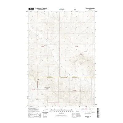
2014 Map of Hayes Point
USGS Topo · Published 2014About this map
Custer National Forest encompasses the southern half of this landscape, where the high point of Hayes Point stands as a prominent landmark above the surrounding drainage networks. The terrain is defined by a series of deep coulees, including Swain Coulee, Mullins Coulee, and the distinctively named The Breaks Coulee, which cut through the high plains. These natural features directed the early path of Liscom Rd, which follows the winding course of Liscom Cr from the northwest.
Find a feature on this map
21 named features on this map. Tap any name to fly to it.
Don’t see what you’re looking for? This feature index may not catch every label — zoom into the map to look around manually.
Map Details
Editions of this 2014 Hayes Point Map
This is the sole edition of this map. No revisions or reprints were ever made.
Other maps of this area

1954 · Hardin
USGS Topo · 1:250,000

1954 · Ekalaka
USGS Topo · 1:250,000

1956 · Ekalaka
USGS Topo · 1:250,000

1957 · Hardin
USGS Topo · 1:250,000

1958 · Ekalaka
USGS Topo · 1:250,000

1958 · Hardin
USGS Topo · 1:250,000

1965 · Ekalaka
USGS Topo · 1:250,000

1966 · Stacey
USGS Topo · 1:24,000

1966 · Beaver Creek School
USGS Topo · 1:24,000

1966 · Cook Creek Reservoir
USGS Topo · 1:24,000