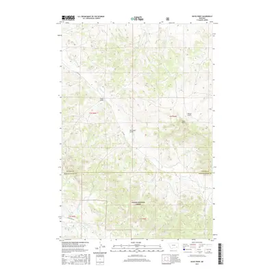
2017 Map of Hayes Point
USGS Topo · Published 2017About this map
Hayes Point stands as a prominent topographical feature in this section of southeast Montana, marking a landscape defined by deep drainage systems and high divides. The terrain is dominated by the northern reaches of the Custer National Forest, where the transition between Custer County and Powder River County is carved by a complex network of seasonal and perennial waterways. Significant among these are Liscom Cr and Beaver Cr, which help shape the various coulees that break the land, including Swain Coulee and The Breaks Coulee. Remote access is facilitated by primitive routes like Liscom Rd and Beaver Creek Rd, reflecting the rural character of this ranching and forest land during the early 21st century. The map provides a clear look at the Public Land Survey System, with townships like t1n r45e and t1s r46e organizing this expansive territory.
Find a feature on this map
22 named features on this map. Tap any name to fly to it.
Don’t see what you’re looking for? This feature index may not catch every label — zoom into the map to look around manually.
Map Details
Editions of this 2017 Hayes Point Map
This is the sole edition of this map. No revisions or reprints were ever made.
Other maps of this area

1954 · Hardin
USGS Topo · 1:250,000

1954 · Ekalaka
USGS Topo · 1:250,000

1956 · Ekalaka
USGS Topo · 1:250,000

1957 · Hardin
USGS Topo · 1:250,000

1958 · Ekalaka
USGS Topo · 1:250,000

1958 · Hardin
USGS Topo · 1:250,000

1965 · Ekalaka
USGS Topo · 1:250,000

1966 · Stacey
USGS Topo · 1:24,000

1966 · Beaver Creek School
USGS Topo · 1:24,000

1966 · Cook Creek Reservoir
USGS Topo · 1:24,000