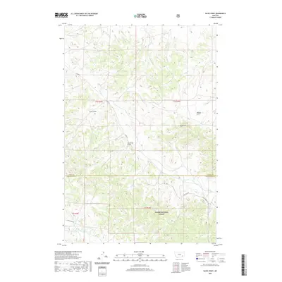
2020 Map of Hayes Point
USGS Topo · Published 2020About this map
Custer National Forest encompasses the southern portion of this landscape, defining a region where the high plains of Powder River County meet a complex network of drainages and topographical landmarks. The terrain is characterized by a series of coulees, including Swain Coulee, The Breaks Coulee, and Mullikin Coulee, which channel seasonal water toward larger streams like Liscom Cr and Garden Cr. These deep erosional features dictate the winding paths of local infrastructure, such as Liscom Rd. Prominent elevations like Hayes Point and the western slopes of Liscom Butte W provide significant vantage points over the surrounding country. The map traces the intersection of natural hydrology, seen in Beaver Cr and Mill Cr, with the legacy of land management and forestry within the national forest boundaries.
Find a feature on this map
22 named features on this map. Tap any name to fly to it.
Don’t see what you’re looking for? This feature index may not catch every label — zoom into the map to look around manually.
Map Details
Editions of this 2020 Hayes Point Map
This is the sole edition of this map. No revisions or reprints were ever made.
Other maps of this area

1954 · Hardin
USGS Topo · 1:250,000

1954 · Ekalaka
USGS Topo · 1:250,000

1956 · Ekalaka
USGS Topo · 1:250,000

1957 · Hardin
USGS Topo · 1:250,000

1958 · Ekalaka
USGS Topo · 1:250,000

1958 · Hardin
USGS Topo · 1:250,000

1965 · Ekalaka
USGS Topo · 1:250,000

1966 · Stacey
USGS Topo · 1:24,000

1966 · Beaver Creek School
USGS Topo · 1:24,000

1966 · Cook Creek Reservoir
USGS Topo · 1:24,000