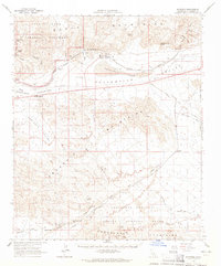
1963 Map of Hayfield
USGS Topo · Published 1965About this map
The Colorado River Aqueduct defines the industrial character of this desert landscape, featuring a series of engineering works including Hayfield Tunnel No 1, Hayfield Tunnel No 2, and a substation at Hayfield Station. The water infrastructure bypasses Hayfield Lake, set within a wide basin bounded by the Chuckawalla Mountains and the Orocopia Mountains. To the north, a portion of Joshua Tree National Monument provides a stark contrast to the military and industrial activities further south.
Find a feature on this map
47 named features on this map. Tap any name to fly to it.
Don’t see what you’re looking for? This feature index may not catch every label — zoom into the map to look around manually.
Map Details
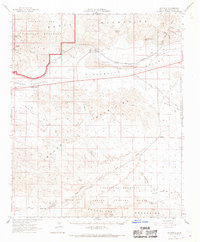
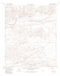
Editions of this 1963 Hayfield Map
3 editions found
Other maps of this area

1940 · Frink
USGS Topo · 1:62,500

1940 · Cottonwood Spring
USGS Topo · 1:62,500

1940 · Iris Pass
USGS Topo · 1:62,500

1940 · Canyon Spring
USGS Topo · 1:62,500

1940 · Durmid
USGS Topo · 1:62,500

1943 · Canyon Spring
USGS Topo · 1:62,500

1943 · Coxcomb Mountains
USGS Topo · 1:62,500

1943 · Pinkham Well
USGS Topo · 1:62,500

1944 · Cottonwood Spring
USGS Topo · 1:62,500

1944 · Pinkham Well
USGS Topo · 1:62,500