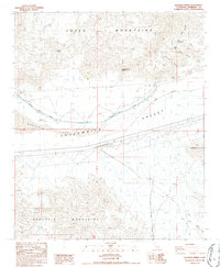
1986 Map of Hayfield Spring
USGS Topo · Published 1987About this map
Eagle Mountains and the Orocopia Mountains converge in this high-desert corridor of Riverside County, creating a natural bottleneck that has long dictated human infrastructure. The mid-1980s landscape is dominated by the massive engineering of the Colorado River Aqueduct, which cuts across the Hayfield Valley alongside a network of high-voltage transmission lines and pipelines. This utility corridor follows the natural depression of Lake Chuckwalla, a dry lake bed flanked by the rugged Chuckwalla Mts.
Find a feature on this map
23 named features on this map. Tap any name to fly to it.
Don’t see what you’re looking for? This feature index may not catch every label — zoom into the map to look around manually.
Map Details
Editions of this 1986 Hayfield Spring Map
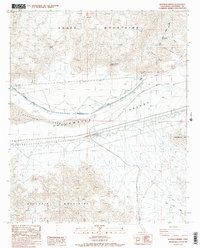
2 editions found
Other maps of this area

1940 · Canyon Spring
USGS Topo · 1:62,500

1943 · Canyon Spring
USGS Topo · 1:62,500

1943 · Coxcomb Mountains
USGS Topo · 1:62,500

1944 · Eagle Tank
USGS Topo · 1:62,500

1944 · Chuckwalla Mountains
USGS Topo · 1:62,500

1944 · Coxcomb Mountains
USGS Topo · 1:62,500

1954 · Salton Sea
USGS Topo · 1:250,000

1955 · Salton Sea
USGS Topo · 1:250,000

1959 · Salton Sea
USGS Topo · 1:250,000

1963 · Salton Sea
USGS Topo · 1:250,000