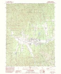
1982 Map of Hayfork
USGS Topo · Published 1984About this map
Hayfork Valley serves as the focal point of this 1982 provisional survey, where the settlement of Hayfork is established at the confluence of several mountain drainages. The landscape is defined by the complex topography of the Trinity National Forest, featuring prominent elevations like Thompson Peak and Morgan Hill. The map documents a rural economy transitioning between traditional land uses and modern infrastructure, shown through the proximity of the County Fairgrounds and Hayfork Landing Strip to older industrial sites.
Find a feature on this map
44 named features on this map. Tap any name to fly to it.
Don’t see what you’re looking for? This feature index may not catch every label — zoom into the map to look around manually.
Map Details
Editions of this 1982 Hayfork Map
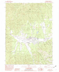
2 editions found
Other maps of this area

1909 · Big Bar
USGS Topo · 1:96,000

1915 · Big Bar and Vicinity
USGS Topo · 1:250,000

1918 · Anada
USGS Topo · 1:62,500

1931 · Hoaglin
USGS Topo · 1:96,000

1935 · Hoaglin
USGS Topo · 1:125,000

1951 · Hayfork
USGS Topo · 1:62,500

1951 · Hyampom
USGS Topo · 1:62,500

1954 · Pickett Peak
USGS Topo · 1:62,500

1954 · Dubakella Mtn
USGS Topo · 1:62,500

1958 · Redding
USGS Topo · 1:250,000