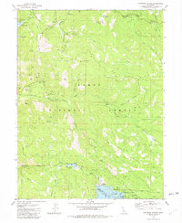
1981 Map of Haypress Valley
USGS Topo · Published 1982About this map
Mining operations and high-altitude water management define this section of the Tahoe National Forest in the early 1980s. The landscape is marked by historical resource extraction at the Kentucky Mine, Pride Mine, and William Tell Mine, while modern recreation and utility are visible at the Sardine Lake Resort and Jackson Meadows Reservoir. The settlement of Bassetts serves as a central point along the Gold Lake Highway, situated where the North Yuba River and Howard Creek converge.
Find a feature on this map
64 named features on this map. Tap any name to fly to it.
Don’t see what you’re looking for? This feature index may not catch every label — zoom into the map to look around manually.
Map Details
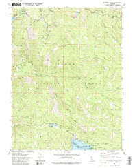
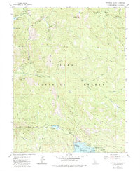
Editions of this 1981 Haypress Valley Map
3 editions found
Other maps of this area

1890 · Sierraville
USGS Topo · 1:125,000

1891 · Downieville
USGS Topo · 1:125,000

1891 · Colfax
USGS Topo · 1:125,000

1891 · Truckee
USGS Topo · 1:125,000

1892 · Sierraville
USGS Topo · 1:125,000

1892 · Colfax
USGS Topo · 1:125,000

1893 · Truckee
USGS Topo · 1:125,000

1893 · Downieville
USGS Topo · 1:125,000

1894 · Colfax
USGS Topo · 1:125,000

1894 · Sierraville
USGS Topo · 1:125,000