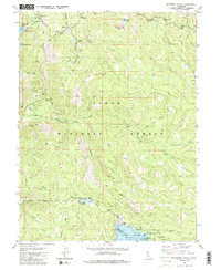
1981 Map of Haypress Valley
USGS Topo · Published 1985About this map
Tahoe National Forest terrain dominates this landscape along the crest of the Sierra Nevada, where the headwaters of the North Yuba River and Middle Yuba River are shaped by historic resource extraction. Evidence of the region’s mining heritage is scattered across the ridges, from the Kentucky Mine and William Tell Mine in the west to the Pride Mine and 1001 Mine further east. These sites reflect the intensive gold-seeking efforts that once defined the local economy before the area transitioned toward modern recreation and water management. Modern infrastructure like the Milton-Bowman Tunnel and the Milton Reservoir illustrate the mid-century engineering required to harness mountain runoff. High-elevation lakes, including Sardine Lake and Volcano Lake, provide the backdrop for seasonal hubs such as Bassetts and the Sardine Lake Resort, connected by the Gold Lake Highway.
Find a feature on this map
57 named features on this map. Tap any name to fly to it.
Don’t see what you’re looking for? This feature index may not catch every label — zoom into the map to look around manually.
Map Details
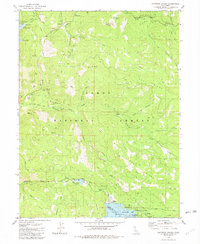
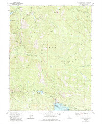
Editions of this 1981 Haypress Valley Map
3 editions found
Other maps of this area

1890 · Sierraville
USGS Topo · 1:125,000

1891 · Downieville
USGS Topo · 1:125,000

1891 · Colfax
USGS Topo · 1:125,000

1891 · Truckee
USGS Topo · 1:125,000

1892 · Sierraville
USGS Topo · 1:125,000

1892 · Colfax
USGS Topo · 1:125,000

1893 · Truckee
USGS Topo · 1:125,000

1893 · Downieville
USGS Topo · 1:125,000

1894 · Colfax
USGS Topo · 1:125,000

1894 · Sierraville
USGS Topo · 1:125,000