
1894 Map of Hayrick
USGS Topo · Published 1894About this map
Hayrick sits at the foot of Hayrick Mountain in a landscape defined by the convergence of major West Texas waterways at the end of the nineteenth century. This 1894 edition illustrates the early ranching and agricultural development across the borders of Coke, Runnels, Tom Green, and Concho counties. The topography is dominated by distinct mesas and peaks, such as Margaret Peak and the curiously named Devils Courthouse Peak, which served as landmarks for early travelers and settlers.
Find a feature on this map
42 named features on this map. Tap any name to fly to it.
Don’t see what you’re looking for? This feature index may not catch every label — zoom into the map to look around manually.
Map Details
Editions of this 1894 Hayrick Map
5 editions found
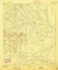
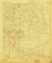
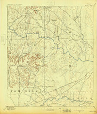
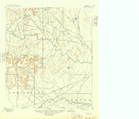
Other maps of this area

1890 · Abilene
USGS Topo · 1:125,000

1891 · Hayrick
USGS Topo · 1:125,000

1892 · San Angelo
USGS Topo · 1:125,000

1892 · Eden
USGS Topo · 1:125,000

1892 · Abilene
USGS Topo · 1:125,000

1892 · Ballinger
USGS Topo · 1:125,000

1893 · Sweetwater
USGS Topo · 1:125,000

1895 · Sherwood
USGS Topo · 1:125,000

1896 · Eden
USGS Topo · 1:125,000

1921 · Bronte
USGS Topo · 1:31,680