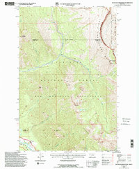
1994 Map of Haystack Mountain
USGS Topo · Published 1997About this map
Bob Marshall Wilderness and the Flathead National Forest dominate this landscape, which spans the border of Flathead and Powell Counties. The terrain is defined by the massive crest of the Lewis and Clark Range, featuring the Chinese Wall Continental Divide and prominent peaks like Haystack Mountain. This backcountry area was meticulously updated in the 1990s from 1969 and 1990 aerial photography, providing a record of the trails and land management infrastructure such as the Big Prairie Work Center near the South Fork Flathead River.
Find a feature on this map
34 named features on this map. Tap any name to fly to it.
Don’t see what you’re looking for? This feature index may not catch every label — zoom into the map to look around manually.
Map Details
Editions of this 1994 Haystack Mountain Map
2 editions found
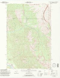
Other maps of this area

1902 · Ovando
USGS Topo · 1:125,000

1905 · Ovando
USGS Topo · 1:125,000

1936 · Silvertip
USGS Topo · 1:96,000

1942 · Silvertip
USGS Topo · 1:125,000

1955 · Choteau
USGS Topo · 1:250,000

1957 · Choteau
USGS Topo · 1:250,000

1958 · Choteau
USGS Topo · 1:250,000

1962 · Choteau
USGS Topo · 1:250,000

1970 · Big Salmon Lake East
USGS Topo · 1:24,000
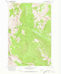
1970 · Prairie Reef
USGS Topo · 1:24,000