Loading...
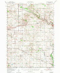
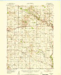
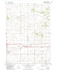
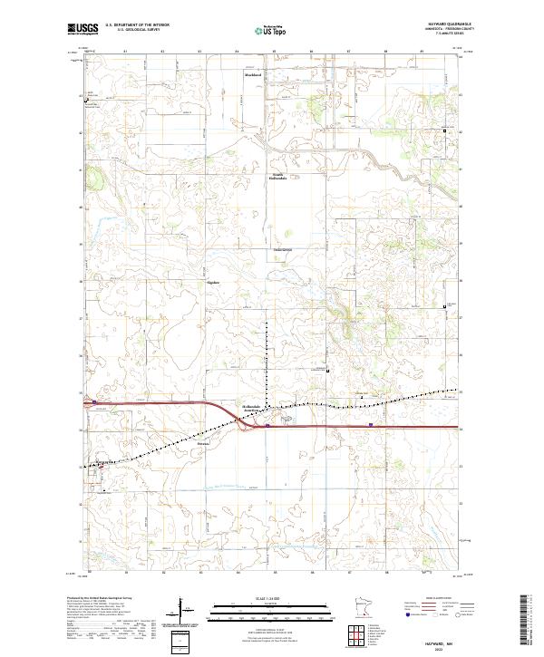
Loading map...1954 Map of Hayward
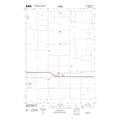
USGS Topo · Published 1973About this map
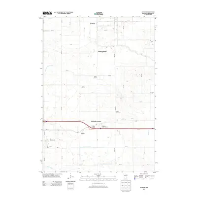
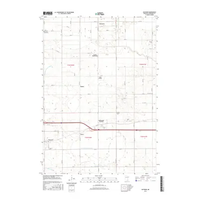
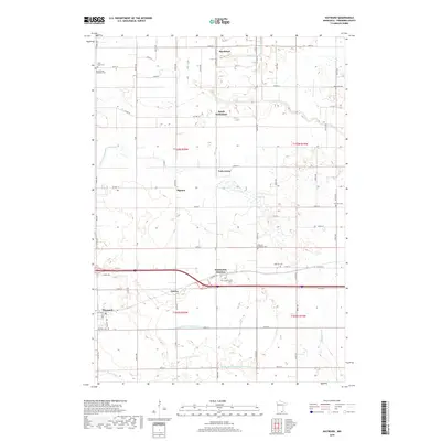
Agricultural life in southern Minnesota is defined here by a dense grid of country schools and rural churches connected by the Chicago Milwaukee St Paul and Pacific and Illinois Central railroads. The landscape transitions from the developed outskirts of Austin and Austin Acres in the east to the wetlands of the Riceland and Moscow townships. A significant concentration of community landmarks, such as Trondhjem Ch and the Bohemian Cem, reflects the ethnic settlement patterns of Freeborn and Mower Counties during the mid-1950s.
Find a feature on this map
85 named features on this map. Tap any name to fly to it.
Don’t see what you’re looking for? This feature index may not catch every label — zoom into the map to look around manually.
Map Details
Date Portrayed1954
Date Published1973
PublisherU.S. Geological Survey
Map TypeTopographic
Scale1:62,500
Physical Dimensions16.5 x 20.1 inches
Editions of this 1954 Hayward Map
2 editions found
Historical Maps of Austin Through Time
7 maps found
Featured Locations
Source Details
SourceU.S. Geological Survey
CopyrightPublic Domain