
1982 Map of Hayward
USGS Topo · Published 1983About this map
The village of Hayward serves as the primary hub in this early 1980s landscape of southern Minnesota, where the agrarian grid is defined by an extensive drainage network including Judicial Ditch No 12 and Turtle Creek. The area’s spiritual and communal history is well-preserved through several rural landmarks, such as Moscow Ch and Oakland Ch, alongside numerous burial grounds like St Pauls Cem and the Seventh-day Adventist Cem.
Find a feature on this map
49 named features on this map. Tap any name to fly to it.
Don’t see what you’re looking for? This feature index may not catch every label — zoom into the map to look around manually.
Map Details
Editions of this 1982 Hayward Map
This is the sole edition of this map. No revisions or reprints were ever made.
Other maps of this area

1954 · Albert Lea
USGS Topo · 1:62,500

1954 · Hayward
USGS Topo · 1:62,500

1954 · Mason City
USGS Topo · 1:250,000

1957 · Mason City
USGS Topo · 1:250,000

1958 · Mason City
USGS Topo · 1:250,000

1967 · Blooming Prairie
USGS Topo · 1:24,000

1967 · Hollandale
USGS Topo · 1:24,000

1967 · Ellendale
USGS Topo · 1:24,000
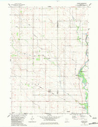
1982 · London
USGS Topo · 1:24,000
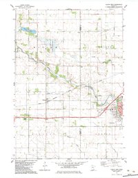
1982 · Austin West
USGS Topo · 1:24,000