
1915 Map of Haywards
USGS Topo · Published 1915About this map
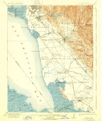
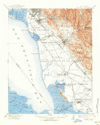
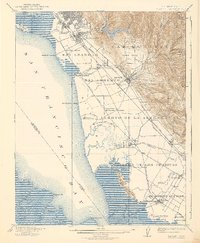
The industrial and agricultural landscape of the East Bay is captured here just before World War I, when salt production and shipping landings defined the shoreline. The Union City Salt Works and Crystal Salt Works dominate the marshes along the San Francisco Bay, highlighting the era's primary coastal industry. Inland, the grid of San Leandro and Haywards gives way to the ranching and farming terrain of the San Lorenzo (Castro) district and the hills surrounding Lake Chabot.
Find a feature on this map
69 named features on this map. Tap any name to fly to it.
Don’t see what you’re looking for? This feature index may not catch every label — zoom into the map to look around manually.
Map Details
Editions of this 1915 Haywards Map
4 editions found
Other maps of this area

1889 · San Jose
USGS Topo · 1:62,500

1892 · San Mateo
USGS Topo · 1:62,500

1895 · San Francisco
USGS Topo · 1:62,500

1896 · San Mateo
USGS Topo · 1:62,500

1896 · Mt. Diablo
USGS Topo · 1:62,500

1897 · San Jose
USGS Topo · 1:62,500

1897 · Concord
USGS Topo · 1:62,500

1897 · Palo Alto
USGS Topo · 1:62,500

1898 · Mt. Diablo
USGS Topo · 1:62,500

1899 · San Jose
USGS Topo · 1:62,500