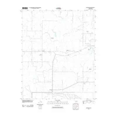
2010 Map of Haywood
USGS Topo · Published 2010About this map
Arpelar and Haywood form the primary residential hubs of this central Oklahoma landscape, where the terrain is defined by the drainage systems of Big Wildhorse Creek and Coal Creek. The map reveals a rural settlement pattern deeply connected to the land, with small cemeteries like Arpelar Cemetery, Blue Cemetery, and Christian Hill Cemetery serving as vital landmarks for genealogists and local historians.
Find a feature on this map
31 named features on this map. Tap any name to fly to it.
Don’t see what you’re looking for? This feature index may not catch every label — zoom into the map to look around manually.
Map Details
Editions of this 2010 Haywood Map
This is the sole edition of this map. No revisions or reprints were ever made.
Other maps of this area

1896 · Coalgate
USGS Topo · 1:125,000

1898 · McAlester
USGS Topo · 1:125,000

1899 · Coalgate
USGS Topo · 1:125,000

1900 · Canadian
USGS Topo · 1:125,000

1900 · Wewoka
USGS Topo · 1:125,000

1900 · Coalgate
USGS Topo · 1:125,000

1909 · Mc Alester
USGS Topo · 1:125,000

1946 · Fort Smith
USGS Topo · 1:250,000

1950 · Mcalester
USGS Topo · 1:250,000

1954 · Oklahoma City
USGS Topo · 1:250,000