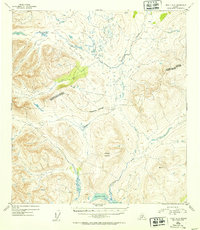
1952 Map of Healy A-3
USGS Topo · Published 1953About this map
Deadman Mountain dominates this interior landscape, reaching an elevation of 5529 feet as recorded by the Geological Survey. The terrain is defined by a dense network of high-altitude drainages, where Brushkana Creek and Deadman Creek carve through the upland plateaus. A significant administrative line, the Fourth Judicial Division Third Judicial Division boundary, bisects the quadrangle, marking the jurisdictional divide in this undeveloped territory during the early 1950s.
Find a feature on this map
8 named features on this map. Tap any name to fly to it.
Don’t see what you’re looking for? This feature index may not catch every label — zoom into the map to look around manually.
Map Details
Editions of this 1952 Healy A-3 Map
2 editions found
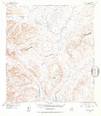
Other maps of this area

1949 · Healy B-4
USGS Topo · 1:63,360

1949 · Healy B-2
USGS Topo · 1:63,360

1950 · Talkeetna Mountains
USGS Topo · 1:250,000

1950 · Healy A-3
USGS Topo · 1:63,360

1950 · Healy B-3
USGS Topo · 1:63,360

1950 · Healy A-4
USGS Topo · 1:63,360

1951 · Healy
USGS Topo · 1:250,000

1951 · Healy B-4
USGS Topo · 1:63,360

1951 · Talkeetna Mountains D-2
USGS Topo · 1:63,360

1951 · Talkeetna Mountains D-3
USGS Topo · 1:63,360