
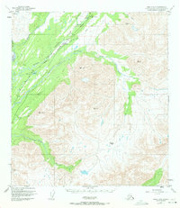
1950 Map of Healy A-5
USGS Topo · Published 1965About this map
The Alaska Railroad carves a critical corridor through the interior landscape, following the course of the Middle Fork Chulitna River as it traverses the high-altitude terrain. The small settlements of Broad Pass and Colorado serve as operational points along the line, with the railway marking mileposts such as Mile 300 and Mile 305. This era of mapping shows a reliance on remote infrastructure, including a Landing Strip and the Mile Landing Strip situated near the rail line to support mountain transit.
Find a feature on this map
33 named features on this map. Tap any name to fly to it.
Don’t see what you’re looking for? This feature index may not catch every label — zoom into the map to look around manually.
Map Details
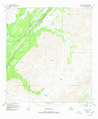
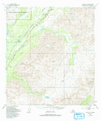
Editions of this 1950 Healy A-5 Map
4 editions found
Other maps of this area

1949 · Talkeetna Mountains D-6
USGS Topo · 1:63,360

1949 · Healy B-4
USGS Topo · 1:63,360

1949 · Healy A-6
USGS Topo · 1:63,360

1950 · Talkeetna Mountains
USGS Topo · 1:250,000

1950 · Talkeetna Mountains D-5
USGS Topo · 1:63,360

1950 · Healy A-4
USGS Topo · 1:63,360

1950 · Healy B-5
USGS Topo · 1:63,360

1951 · Healy
USGS Topo · 1:250,000

1951 · Talkeetna Mountains D-5
USGS Topo · 1:63,360

1951 · Healy B-5
USGS Topo · 1:63,360