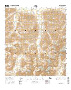
2016 Map of Healy C-2 NW
USGS Topo · Published 2016About this map
Big Grizzly Creek and Young Cr define the high-elevation drainage patterns of this Alaskan interior terrain. The 2016 survey illustrates a landscape of extreme relief, where the steep headwaters of Dick Cr and Edgar Cr cut through the rugged slopes within the Denali Borough. This quadrangle, primarily shaped by natural hydrologic features, reflects the expansive, undeveloped character of the Alaska Range region. The absence of named roads or settlements highlights the isolation of these creek systems, which serve as the primary landmarks for navigation through the mountainous township corridors.
Find a feature on this map
10 named features on this map. Tap any name to fly to it.
Don’t see what you’re looking for? This feature index may not catch every label — zoom into the map to look around manually.
Map Details
Editions of this 2016 Healy C-2 NW Map
This is the sole edition of this map. No revisions or reprints were ever made.
Other maps of this area

1949 · Healy C-3
USGS Topo · 1:63,360

1950 · Healy D-3
USGS Topo · 1:63,360

1951 · Healy
USGS Topo · 1:250,000

1951 · Healy C-2
USGS Topo · 1:63,360
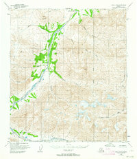
1951 · Healy D-2
USGS Topo · 1:63,360
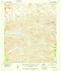
1952 · Healy D-3
USGS Topo · 1:63,360
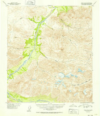
1952 · Healy D-2
USGS Topo · 1:63,360
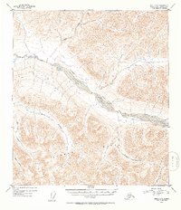
1952 · Healy C-3
USGS Topo · 1:63,360

1956 · Healy
USGS Topo · 1:250,000
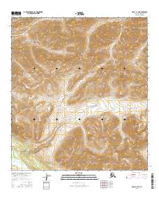
2016 · Healy C-3 NE
USGS Topo · 1:25,000