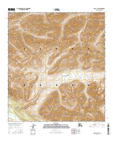
2016 Map of Healy C-3 NE
USGS Topo · Published 2016About this map
The Yanert Fork river valley anchors the southern edge of this interior Alaska wilderness, as documented in this 2016 study. The landscape is defined by the high alpine drainages of Grizzly Cr in the north and the expansive reach of Dick Cr flowing through the central and western sections. This map highlights the complex glaciated terrain and steep elevational shifts across several townships, including t14s r3w and t15s r3w. While devoid of modern settlements, the survey provides precise topographical detail for the area's many unnamed peaks and the braided watercourses that shape the Denali Borough interior.
Find a feature on this map
12 named features on this map. Tap any name to fly to it.
Don’t see what you’re looking for? This feature index may not catch every label — zoom into the map to look around manually.
Map Details
Editions of this 2016 Healy C-3 NE Map
This is the sole edition of this map. No revisions or reprints were ever made.
Other maps of this area

1949 · Healy C-3
USGS Topo · 1:63,360

1950 · Healy D-3
USGS Topo · 1:63,360

1951 · Healy
USGS Topo · 1:250,000

1951 · Healy C-2
USGS Topo · 1:63,360
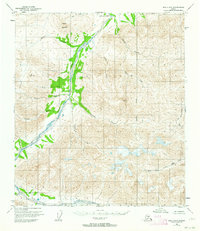
1951 · Healy D-2
USGS Topo · 1:63,360
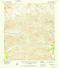
1952 · Healy D-3
USGS Topo · 1:63,360
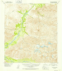
1952 · Healy D-2
USGS Topo · 1:63,360
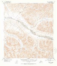
1952 · Healy C-3
USGS Topo · 1:63,360

1956 · Healy
USGS Topo · 1:250,000
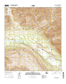
2016 · Healy C-3 NW
USGS Topo · 1:25,000