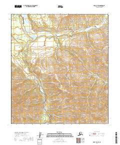
2019 Map of Healy D-4 SW
USGS Topo · Published 2019About this map
Healy serves as the focal point of this interior landscape, where the confluence of the Healy River and Nenana River meets a network of vital transportation routes. The industrial and transit character of the area is evident in the presence of Suntrana and Usibelli, connected by the Healy Spur Road and Healy Access Road. The map documents a rugged transition from these settlements into the northern reaches of Denali National Park, which dominates the southwestern corner of the sheet.
Find a feature on this map
37 named features on this map. Tap any name to fly to it.
Don’t see what you’re looking for? This feature index may not catch every label — zoom into the map to look around manually.
Map Details
Editions of this 2019 Healy D-4 SW Map
This is the sole edition of this map. No revisions or reprints were ever made.
Other maps of this area

1950 · Healy D-4
USGS Topo · 1:63,360

1950 · Healy C-4
USGS Topo · 1:63,360

1951 · Healy
USGS Topo · 1:250,000

1951 · Healy D-5
USGS Topo · 1:63,360

1952 · Healy D-5
USGS Topo · 1:63,360

1952 · Healy C-5
USGS Topo · 1:63,360
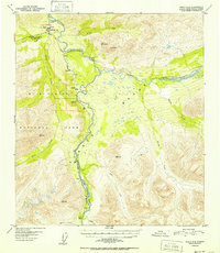
1952 · Healy C-4
USGS Topo · 1:63,360
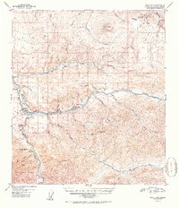
1952 · Healy D-4
USGS Topo · 1:63,360

1953 · Healy C-5
USGS Topo · 1:63,360

1956 · Healy
USGS Topo · 1:250,000