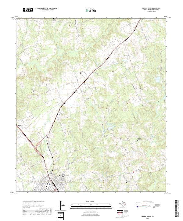
2022 Map of Hearne North
USGS Topo · Published 2022About this map
Hearne anchors the southern portion of this Robertson County landscape, where the town's northern grid meets a network of rural roads and watercourses. The area is defined by its deep genealogical roots, visible in the cluster of burial sites including Norwood Cem, San Jose Cem, and Saint Marys Cem. Moving north toward the small settlement of Elliot, the terrain is drained by several creek systems such as Little Pin Oak Creek and Threemile Cr.
Find a feature on this map
98 named features on this map. Tap any name to fly to it.
Don’t see what you’re looking for? This feature index may not catch every label — zoom into the map to look around manually.
Map Details
Editions of this 2022 Hearne North Map
This is the sole edition of this map. No revisions or reprints were ever made.
Other maps of this area

1927 · Marquez
USGS Topo · 1:62,500

1930 · Marquez
USGS Topo · 1:62,500

1954 · Waco
USGS Topo · 1:250,000

1954 · Austin
USGS Topo · 1:250,000

1955 · Waco
USGS Topo · 1:250,000

1961 · Hearne North
USGS Topo · 1:24,000

1961 · Hearne South
USGS Topo · 1:24,000

1962 · Calvert
USGS Topo · 1:24,000

1962 · Wheelock
USGS Topo · 1:24,000

1962 · Hammond
USGS Topo · 1:24,000