
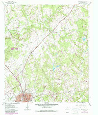
1961 Map of Hearne North
USGS Topo · Published 1964About this map
Hearne serves as a significant rail crossroads in this 1961 survey, where the Missouri Pacific and Southern Pacific lines converge. The town's grid is well-established, featuring civic centers like City Hall, Blackshear High Sch, and City Park alongside the Hearne Municipal Airport. Beyond the town limits, the landscape transitions into a network of small agricultural and rural communities including Seger, Black Jack, and Hammond Colony.
Find a feature on this map
41 named features on this map. Tap any name to fly to it.
Don’t see what you’re looking for? This feature index may not catch every label — zoom into the map to look around manually.
Map Details
Editions of this 1961 Hearne North Map
2 editions found
Other maps of this area

1927 · Marquez
USGS Topo · 1:62,500

1930 · Marquez
USGS Topo · 1:62,500

1954 · Waco
USGS Topo · 1:250,000

1954 · Austin
USGS Topo · 1:250,000

1955 · Waco
USGS Topo · 1:250,000

1961 · Hearne South
USGS Topo · 1:24,000

1962 · Calvert
USGS Topo · 1:24,000

1962 · Wheelock
USGS Topo · 1:24,000

1962 · Hammond
USGS Topo · 1:24,000
1962 · Gause
USGS Topo · 1:24,000