
1960 Map of Heart Butte
USGS Topo · Published 1962About this map
The county line between Morton Co and Grant Co bisects a landscape defined by dramatic geological features and the early water management efforts of the Missouri River Basin project. Rising prominently above the surrounding plains, Wolf Butte and Heart Butte serve as primary landmarks for a rural community centered on decentralized country schools. The educational network is remarkably dense for the era, featuring Curlew Sch No 1 and a series of district facilities including Hertz Sch No 1, Hertz Sch No 2, and Hertz Sch No 4.
Find a feature on this map
13 named features on this map. Tap any name to fly to it.
Don’t see what you’re looking for? This feature index may not catch every label — zoom into the map to look around manually.
Map Details
Editions of this 1960 Heart Butte Map
This is the sole edition of this map. No revisions or reprints were ever made.
Other maps of this area

1938 · Heart Butte
USGS Topo · 1:48,000

1944 · Heart Butte
USGS Topo · 1:62,500

1954 · Bismarck
USGS Topo · 1:250,000

1958 · Bismarck
USGS Topo · 1:250,000

1960 · Dengate
USGS Topo · 1:24,000

1960 · Glen Ullin
USGS Topo · 1:24,000

1960 · Heart Butte NW
USGS Topo · 1:24,000
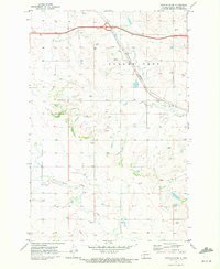
1970 · Glen Ullin SW
USGS Topo · 1:24,000

1980 · Crown Butte Creek NW
USGS Topo · 1:24,000
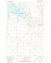
1980 · Lake Tschida East
USGS Topo · 1:24,000