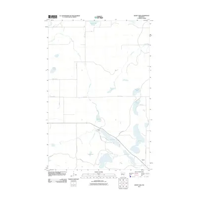
2011 Map of Heart Lake
USGS Topo · Published 2011About this map
Wild Rice River winds through the northwestern corner of this Clearwater County landscape, feeding a complex drainage system defined by Hier Creek and Bear Creek. The terrain is characterized by a high density of glacial lakes and wetlands, including Gill Lake, Sucker Lake, and the elongated Long Lake. This area of Minnesota preserves a largely natural character, with human activity concentrated around recreation and small-scale infrastructure. The Long Lake Park Campground serves as a primary point of access for local residents and visitors, while the Stevens Cemetery in the southeastern corner offers a site of local genealogical interest. Transport throughout the region relies on a network of secondary roads and local routes like Mallard Grade Rd and County Hwy-105, which navigate the many water bodies and marshy lowlands.
Find a feature on this map
28 named features on this map. Tap any name to fly to it.
Don’t see what you’re looking for? This feature index may not catch every label — zoom into the map to look around manually.
Map Details
Editions of this 2011 Heart Lake Map
This is the sole edition of this map. No revisions or reprints were ever made.
Other maps of this area

1954 · Bemidji
USGS Topo · 1:250,000

1957 · Bemidji
USGS Topo · 1:250,000

1958 · Bemidji
USGS Topo · 1:250,000

1969 · Anchor Hill
USGS Topo · 1:24,000

1969 · Long Lost Lake
USGS Topo · 1:24,000
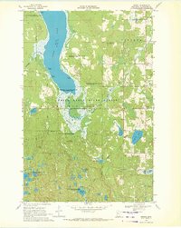
1969 · Zerkel
USGS Topo · 1:24,000

1969 · Heart Lake
USGS Topo · 1:24,000
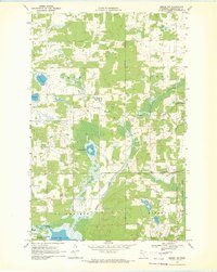
1969 · Zerkel NW
USGS Topo · 1:24,000
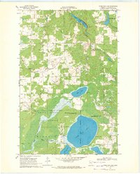
1969 · Upper Rice Lake
USGS Topo · 1:24,000

1972 · Alida
USGS Topo · 1:24,000