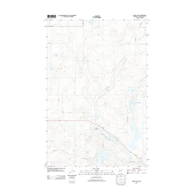
2013 Map of Heart Lake
USGS Topo · Published 2013About this map
Heart Lake and its neighboring glacial waters dominate this landscape in Clearwater County, which is characterized by a dense concentration of lakes, sloughs, and creek drainages. The MN-200 corridor cuts through the southeastern portion of the map, providing access to recreational and historical sites such as Long Lake Park Campground and the Stevens Cem near the intersection with Anchor Matson Rd.
Find a feature on this map
37 named features on this map. Tap any name to fly to it.
Don’t see what you’re looking for? This feature index may not catch every label — zoom into the map to look around manually.
Map Details
Editions of this 2013 Heart Lake Map
This is the sole edition of this map. No revisions or reprints were ever made.
Other maps of this area

1954 · Bemidji
USGS Topo · 1:250,000

1957 · Bemidji
USGS Topo · 1:250,000

1958 · Bemidji
USGS Topo · 1:250,000

1969 · Anchor Hill
USGS Topo · 1:24,000

1969 · Long Lost Lake
USGS Topo · 1:24,000
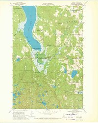
1969 · Zerkel
USGS Topo · 1:24,000

1969 · Heart Lake
USGS Topo · 1:24,000
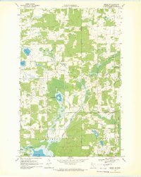
1969 · Zerkel NW
USGS Topo · 1:24,000
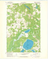
1969 · Upper Rice Lake
USGS Topo · 1:24,000

1972 · Alida
USGS Topo · 1:24,000