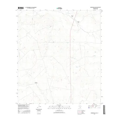
2016 Map of Hebbronville NW
USGS Topo · Published 2016About this map
Arid ranchlands of the South Texas brush country define this landscape in the northwestern portion of the Hebbronville area. The terrain is marked by a complex system of ephemeral drainages and essential stock water features, which include the winding Santonino Cr and Macho Cr in the north, and Mesquite Cr to the south. Central to the region's cattle-ranching operations are numerous named water catchments such as Thirtyeight Tank, Dry Tank, and Juan Tank. Transportation and access across this remote Duval County landscape are facilitated by a sparse network of county roads including Co RD 312 and Co RD 313. The presence of the Barronena Ranch Airport and the Barronena East Airport underscores the importance of private aviation for navigating and managing these large-scale ranching properties.
Find a feature on this map
14 named features on this map. Tap any name to fly to it.
Don’t see what you’re looking for? This feature index may not catch every label — zoom into the map to look around manually.
Map Details
Editions of this 2016 Hebbronville NW Map
This is the sole edition of this map. No revisions or reprints were ever made.
Other maps of this area

1939 · Bruni
USGS Topo · 1:62,500

1956 · Laredo
USGS Topo · 1:250,000

1967 · Hebbronville SE
USGS Topo · 1:24,000

1967 · Parrilla Creek SE
USGS Topo · 1:24,000

1967 · Realitos
USGS Topo · 1:24,000

1967 · Hebbronville NW
USGS Topo · 1:24,000

1967 · Hebbronville
USGS Topo · 1:24,000

1968 · Parrilla Creek SW
USGS Topo · 1:24,000

1968 · San Pablo
USGS Topo · 1:24,000

1972 · Bruni SE
USGS Topo · 1:24,000