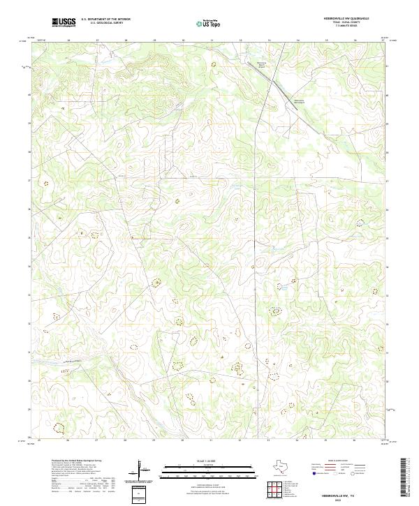
2022 Map of Hebbronville NW
USGS Topo · Published 2022About this map
Barronena Ranch Airport and Barronena East Airport serve as primary aviation markers in this rural stretch of Duval County. The landscape is defined by its intermittent water systems, where seasonal drainage from Santonino Cr and Macho Cr shapes the terrain. This area relies heavily on artificial water catchments, as evidenced by a series of named tanks scattered throughout the quadrangle, including Thirtyeight Tank, Juan Tank, and Retima Tank.
Find a feature on this map
14 named features on this map. Tap any name to fly to it.
Don’t see what you’re looking for? This feature index may not catch every label — zoom into the map to look around manually.
Map Details
Editions of this 2022 Hebbronville NW Map
This is the sole edition of this map. No revisions or reprints were ever made.
Other maps of this area

1939 · Bruni
USGS Topo · 1:62,500

1956 · Laredo
USGS Topo · 1:250,000

1967 · Hebbronville SE
USGS Topo · 1:24,000

1967 · Parrilla Creek SE
USGS Topo · 1:24,000

1967 · Realitos
USGS Topo · 1:24,000

1967 · Hebbronville NW
USGS Topo · 1:24,000

1967 · Hebbronville
USGS Topo · 1:24,000

1968 · Parrilla Creek SW
USGS Topo · 1:24,000

1968 · San Pablo
USGS Topo · 1:24,000

1972 · Bruni SE
USGS Topo · 1:24,000