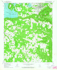
1963 Map of Heber Springs
USGS Topo · Published 1964About this map
Greers Ferry Reservoir dominates the northern landscape of this Cleburne County region, representing a significant era of water management and recreation for Heber Springs. The map documents a transitional period where the Old Sulphur Railroad Grade and Sulphur Grade reflect the area's earlier transportation network, now bypassed by modern developments like the Fairground and local Radio Tower.
Find a feature on this map
49 named features on this map. Tap any name to fly to it.
Don’t see what you’re looking for? This feature index may not catch every label — zoom into the map to look around manually.
Map Details
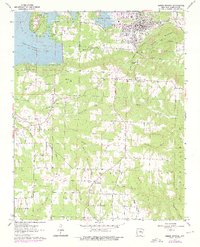
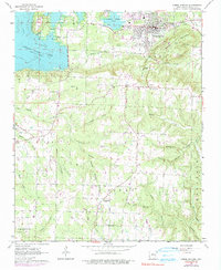
Editions of this 1963 Heber Springs Map
3 editions found
Other maps of this area

1890 · Batesville
USGS Topo · 1:125,000

1891 · Batesville
USGS Topo · 1:125,000
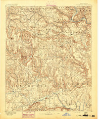
1892 · Mountain View
USGS Topo · 1:125,000
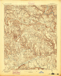
1894 · Mountain View
USGS Topo · 1:125,000

1953 · Memphis
USGS Topo · 1:250,000

1956 · Memphis
USGS Topo · 1:250,000

1956 · Russellville
USGS Topo · 1:250,000
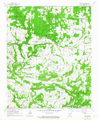
1963 · Rose Bud
USGS Topo · 1:24,000
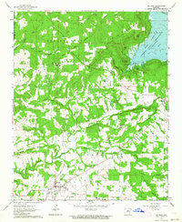
1963 · Quitman
USGS Topo · 1:24,000
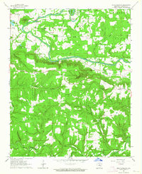
1963 · West Pangburn
USGS Topo · 1:24,000