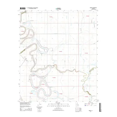
2015 Map of Hebert
USGS Topo · Published 2015About this map
Hebert and its surrounding alluvial landscape are defined by the complex meanders of the Boeuf River and Bayou Lafourche. This region, where Caldwell, Richland, and Franklin Parishes meet, features a distinctive drainage pattern of sloughs and oxbow lakes, such as Woolen Lake, Horseshoe Lake, and Plum Thicket Lake. The map reveals a rural settlement pattern centered on the town of Hebert, with several family-associated landmarks like Hebert Cem, Etier Cem, and Girod Cem providing valuable points of reference for local history. The road network, including names like Wheeler Bend RD and Puckett Bend RD, follows the sinuous path of the river, reflecting how the local hydrology has historically dictated movement and land use throughout this portion of the Louisiana delta.
Find a feature on this map
55 named features on this map. Tap any name to fly to it.
Don’t see what you’re looking for? This feature index may not catch every label — zoom into the map to look around manually.
Map Details
Editions of this 2015 Hebert Map
This is the sole edition of this map. No revisions or reprints were ever made.
Other maps of this area

1935 · Alto
USGS Topo · 1:62,500

1939 · Fort Necessity
USGS Topo · 1:62,500

1940 · Monroe
USGS Topo · 1:62,500

1940 · Columbia
USGS Topo · 1:62,500

1955 · Jackson
USGS Topo · 1:250,000

1955 · Shreveport
USGS Topo · 1:250,000

1956 · Shreveport
USGS Topo · 1:250,000

1957 · Columbia
USGS Topo · 1:62,500

1957 · Mangham
USGS Topo · 1:62,500

1957 · Monroe South
USGS Topo · 1:62,500