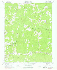
1964 Map of Hebron
USGS Topo · Published 1978About this map
Norfolk and Western tracks anchor the southern landscape of this mid-century rural corridor, where the borders of Amelia, Nottoway, and Dinwiddie counties meet. The settlement pattern is defined by dispersed crossroads and community centers like Hebron, Ammon, and Wilsons, each serving a network of family farms and homesteads. The terrain is deeply etched by the headwaters of Winticomack Creek and Namozine Creek, which supported early local industry at sites like Hobbs Millpond and several scattered quarries.
Find a feature on this map
46 named features on this map. Tap any name to fly to it.
Don’t see what you’re looking for? This feature index may not catch every label — zoom into the map to look around manually.
Map Details
Editions of this 1964 Hebron Map
4 editions found
Other maps of this area

1897 · Amelia
USGS Topo · 1:125,000

1943 · Amelia
USGS Topo · 1:31,680

1943 · Goodes Bridge
USGS Topo · 1:31,680

1943 · De Witt
USGS Topo · 1:24,000

1943 · Church Road
USGS Topo · 1:24,000

1943 · Winterpock
USGS Topo · 1:24,000

1943 · Richmond
USGS Topo · 1:250,000
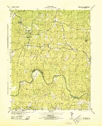
1944 · Winterpock
USGS Topo · 1:31,680
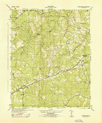
1944 · Church Road
USGS Topo · 1:31,680
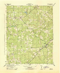
1944 · DeWitt
USGS Topo · 1:31,680