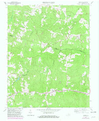
1964 Map of Hebron
USGS Topo · Published 1981About this map
Harris Store and the rail-aligned community of Hebron anchor this rural landscape where the borders of Amelia, Nottoway, and Dinwiddie counties converge. The industrial and agricultural rhythm of the mid-20th century is evidenced by the Norfolk and Western rail line running through Wilsons and the presence of a quarry near Namozine Creek. For genealogists, the map is an exceptional resource, meticulously locating small family and community burial grounds such as Gills Cem, Craddock Cem, and Hamner Cem that often vanish from modern records. The distribution of Salem Ch, Liberty Ch, and the King David Lodge Hall suggests a deeply rooted social structure centered around small crossroads and church-led settlements. Waterways like Sweathouse Creek and Winticomack Creek define the drainage of this Piedmont terrain, while Hobbs Millpond reflects earlier water-powered industry at Hobbs Mill.
Find a feature on this map
46 named features on this map. Tap any name to fly to it.
Don’t see what you’re looking for? This feature index may not catch every label — zoom into the map to look around manually.
Map Details
Editions of this 1964 Hebron Map
4 editions found
Other maps of this area

1897 · Amelia
USGS Topo · 1:125,000

1943 · Amelia
USGS Topo · 1:31,680

1943 · Goodes Bridge
USGS Topo · 1:31,680

1943 · De Witt
USGS Topo · 1:24,000

1943 · Church Road
USGS Topo · 1:24,000

1943 · Winterpock
USGS Topo · 1:24,000

1943 · Richmond
USGS Topo · 1:250,000
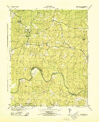
1944 · Winterpock
USGS Topo · 1:31,680
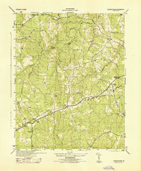
1944 · Church Road
USGS Topo · 1:31,680
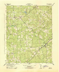
1944 · DeWitt
USGS Topo · 1:31,680