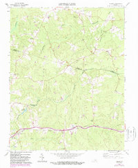
1964 Map of Hebron
USGS Topo · Published 1987About this map
Norfolk and Western rail lines anchor the southern landscape of this Virginia survey, connecting the small communities of Hebron and Wilsons. The terrain is defined by a dense network of drainage systems, including the southern flow of Namozine Creek and the headwaters of Sweathouse Creek and Winticomack Creek. Family history is deeply rooted here, evidenced by numerous small burial grounds such as Craddock Cem, Gills Cem, and the Poplar Hill Ch Cem near the Ammon Sch. Local industry and social hubs are sparse but significant, featuring Harris Store in the west and Hobbs Mill situated along its namesake Hobbs Millpond. The map also captures the converging boundaries of Amelia, Nottoway, and Dinwiddie counties, marking the rural character of the region during the mid-1960s and its later 1980s updates.
Find a feature on this map
42 named features on this map. Tap any name to fly to it.
Don’t see what you’re looking for? This feature index may not catch every label — zoom into the map to look around manually.
Map Details
Editions of this 1964 Hebron Map
4 editions found
Other maps of this area

1897 · Amelia
USGS Topo · 1:125,000

1943 · Amelia
USGS Topo · 1:31,680

1943 · Goodes Bridge
USGS Topo · 1:31,680

1943 · De Witt
USGS Topo · 1:24,000

1943 · Church Road
USGS Topo · 1:24,000

1943 · Winterpock
USGS Topo · 1:24,000

1943 · Richmond
USGS Topo · 1:250,000
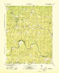
1944 · Winterpock
USGS Topo · 1:31,680
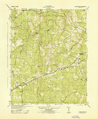
1944 · Church Road
USGS Topo · 1:31,680
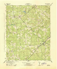
1944 · DeWitt
USGS Topo · 1:31,680