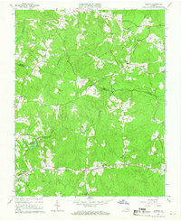
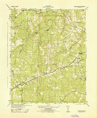
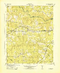
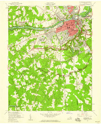
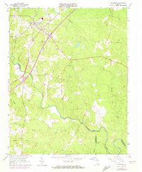
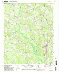
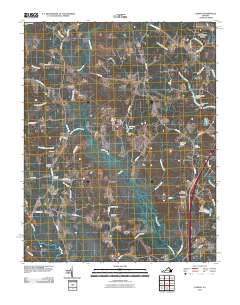
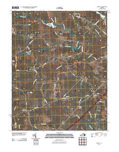
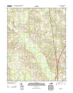
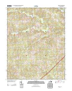
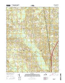
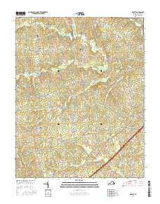
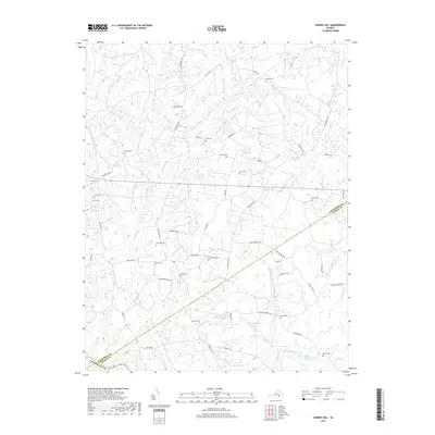
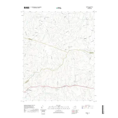
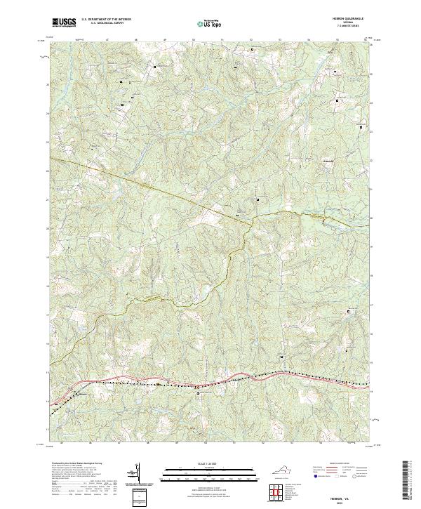
1964 Map of Hebron
USGS Topo · Published 1966About this map
The southern Virginia Piedmont countryside, where Amelia Co, Nottoway Co, and Dinwiddie Co meet, is defined here by a series of small rural communities and extensive family cemeteries. Small clusters of development like Hebron and Wilsons are anchored by the Norfolk And Western railroad, which runs through the southern portion of the quadrangle. North of the rail line, the landscape is heavily wooded and dissected by several waterways, including Namozine Creek, Winticomack Creek, and Sweathouse Creek.
Find a feature on this map
43 named features on this map. Tap any name to fly to it.
Don’t see what you’re looking for? This feature index may not catch every label — zoom into the map to look around manually.
Map Details
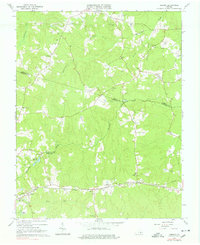
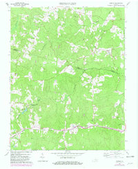
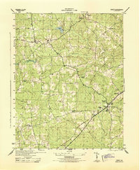
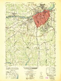
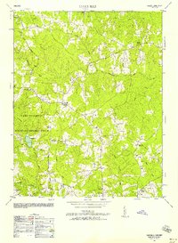
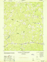
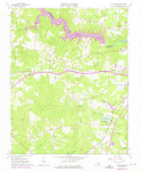
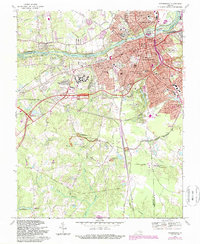
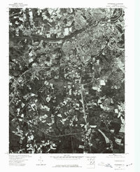
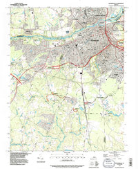
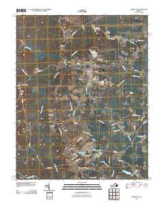
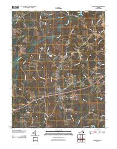
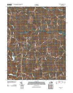
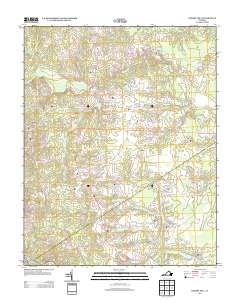
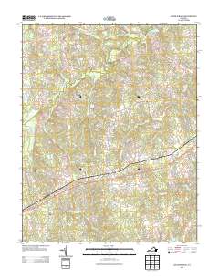
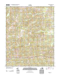
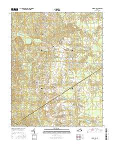
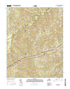
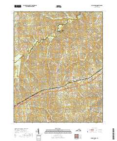
Editions of this 1964 Hebron Map
4 editions found
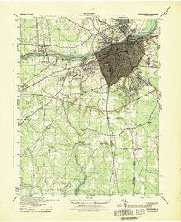
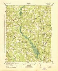
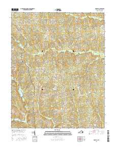
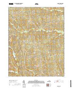
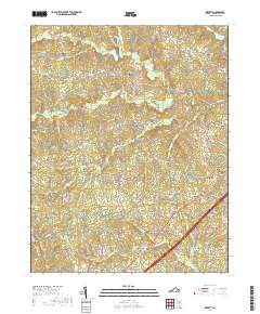
Historical Maps of Hebron Through Time
68 maps found
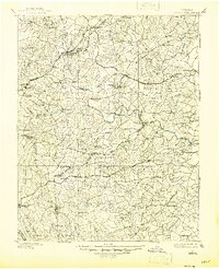
1897 Amelia
Dinwiddie County, VA

1919 Mc Kenney
Dinwiddie County, VA

1921 Mc Kenney
Dinwiddie County, VA

1943 Church Road
Dinwiddie County, VA

1943 De Witt
Dinwiddie County, VA

1943 Mc Kenney
Dinwiddie County, VA

1943 Sutherland
Dinwiddie County, VA
1944 Church Road
Dinwiddie County, VA
1944 DeWitt
Dinwiddie County, VA
1944 Petersburg
Dinwiddie County, VA
1944 Reams
Dinwiddie County, VA
1944 Sutherland
Dinwiddie County, VA
1949 Petersburg
Dinwiddie County, VA
1950 Darvills
Dinwiddie County, VA
1950 Hebron
Dinwiddie County, VA
1952 Petersburg
Dinwiddie County, VA
1952 Reams
Dinwiddie County, VA
1963 Cherry Hill
Dinwiddie County, VA
1963 Church Road
Dinwiddie County, VA

1963 De Witt
Dinwiddie County, VA
1963 Mc Kenney
Dinwiddie County, VA
1963 Sutherland
Dinwiddie County, VA
1964 Darvills
Dinwiddie County, VA
1964 Hebron
Dinwiddie County, VA
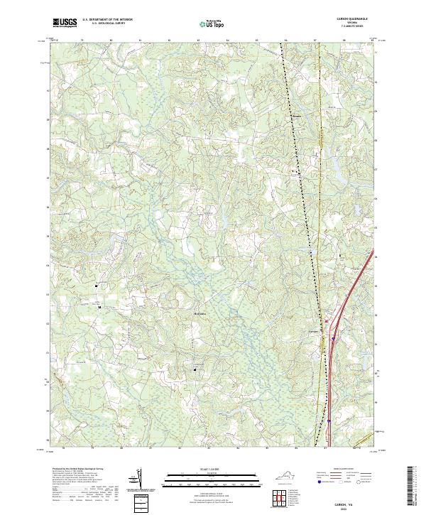
1969 Carson
Dinwiddie County, VA
1969 Petersburg
Dinwiddie County, VA
1974 Petersburg
Dinwiddie County, VA
1994 Petersburg
Dinwiddie County, VA
2010 Carson
Dinwiddie County, VA
2010 Cherry Hill
Dinwiddie County, VA
2010 Church Road
Dinwiddie County, VA
2010 Darvills
Dinwiddie County, VA
2010 DeWitt
Dinwiddie County, VA
2010 Hebron
Dinwiddie County, VA
2010 Petersburg
Dinwiddie County, VA
2010 Sutherland
Dinwiddie County, VA
2013 Carson
Dinwiddie County, VA
2013 Cherry Hill
Dinwiddie County, VA
2013 Church Road
Dinwiddie County, VA
2013 Darvills
Dinwiddie County, VA
2013 DeWitt
Dinwiddie County, VA
2013 Hebron
Dinwiddie County, VA
2013 Petersburg
Dinwiddie County, VA
2013 Sutherland
Dinwiddie County, VA
2016 Carson
Dinwiddie County, VA
2016 Cherry Hill
Dinwiddie County, VA
2016 Church Road
Dinwiddie County, VA
2016 Darvills
Dinwiddie County, VA
2016 DeWitt
Dinwiddie County, VA

2016 Hebron
Dinwiddie County, VA
2016 Petersburg
Dinwiddie County, VA
2016 Sutherland
Dinwiddie County, VA
2019 Carson
Dinwiddie County, VA
2019 Cherry Hill
Dinwiddie County, VA
2019 Church Road
Dinwiddie County, VA
2019 Darvills
Dinwiddie County, VA
2019 DeWitt
Dinwiddie County, VA
2019 Hebron
Dinwiddie County, VA
2019 Petersburg
Dinwiddie County, VA
2019 Sutherland
Dinwiddie County, VA
2022 Carson
Dinwiddie County, VA
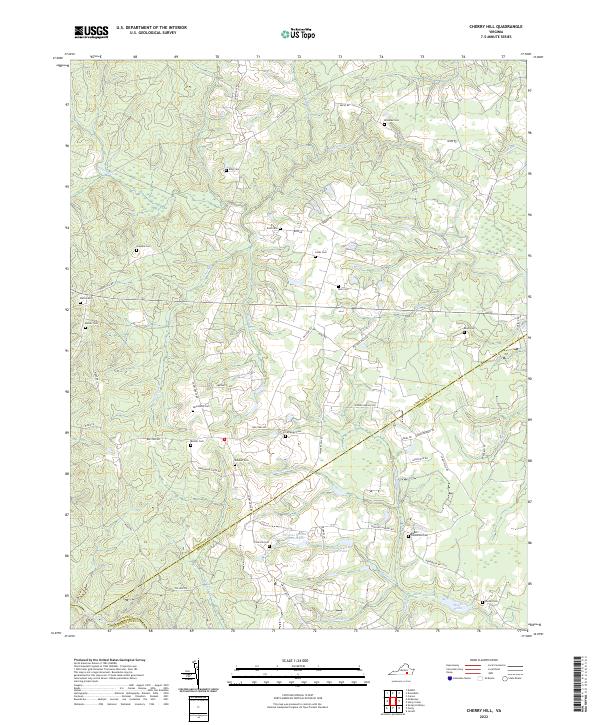
2022 Cherry Hill
Dinwiddie County, VA
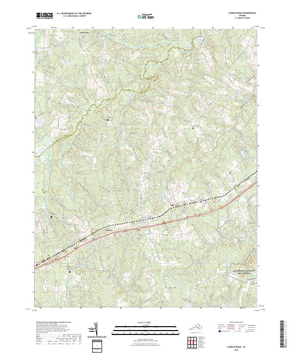
2022 Church Road
Dinwiddie County, VA
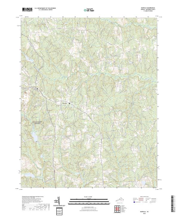
2022 Darvills
Dinwiddie County, VA
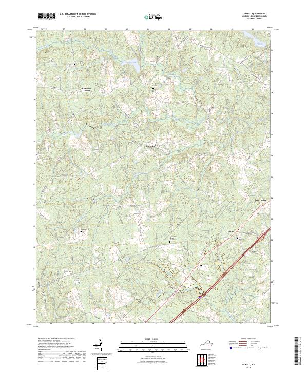
2022 DeWitt
Dinwiddie County, VA
2022 Hebron
Dinwiddie County, VA
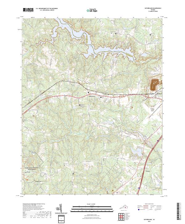
2022 Sutherland
Dinwiddie County, VA
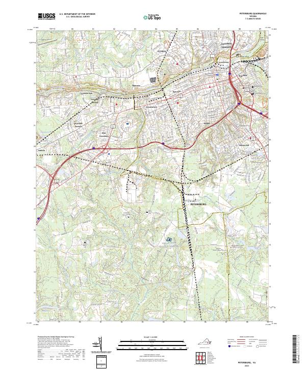
2023 Petersburg
Dinwiddie County, VA