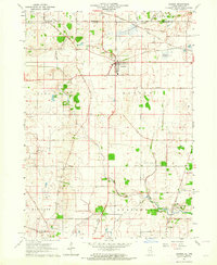
1963 Map of Hebron
USGS Topo · Published 1964About this map
Nippersink Creek and its tributary, Nippersink Branch, wind through this northern Illinois landscape, which remained predominantly agricultural in the early 1960s. The village of Hebron serves as the central hub, situated where the Chicago and North Western rail line meets the local road network. The map reveals a dense grid of family-named thoroughfares, such as Rola Farm Road and Jankowski Road, reflecting the deep-rooted farming history of the region. Local aviation is well-represented by both Hebron Airport and Galt Airport. For those tracing local history or genealogy, the presence of Linn-Hebron Cem, South Hebron Cem, and the St Patricks Ch complex near St Patricks Cem provides essential landmarks for locating early homesteads and community centers near the Wisconsin state line.
Find a feature on this map
43 named features on this map. Tap any name to fly to it.
Don’t see what you’re looking for? This feature index may not catch every label — zoom into the map to look around manually.
Map Details
Editions of this 1963 Hebron Map
2 editions found
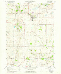
Other maps of this area

1893 · Delavan
USGS Topo · 1:62,500

1893 · Geneva
USGS Topo · 1:62,500

1904 · Lake Geneva
USGS Topo · 1:62,500

1906 · Lake Geneva
USGS Topo · 1:62,500

1926 · Mc Henry
USGS Topo · 1:62,500

1932 · Harvard
USGS Topo · 1:48,000

1937 · Harvard
USGS Topo · 1:62,500

1944 · McHenry
USGS Topo · 1:62,500

1954 · Rockford
USGS Topo · 1:250,000

1955 · Rockford
USGS Topo · 1:250,000