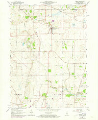
1963 Map of Hebron
USGS Topo · Published 1973About this map
The village of Hebron anchors this landscape in the early 1960s, serving as a hub for the surrounding agricultural townships of Alden, Linn, and Bloomfield. The Chicago Milwaukee St Paul and Pacific railroad bisects the terrain, illustrating the importance of rail transport for this border region between Illinois and Wisconsin. Evidence of rural community life is found at St Patricks Ch and several burial grounds, including Linn-Hebron Cem and South Hebron Cem.
Find a feature on this map
50 named features on this map. Tap any name to fly to it.
Don’t see what you’re looking for? This feature index may not catch every label — zoom into the map to look around manually.
Map Details
Editions of this 1963 Hebron Map
2 editions found
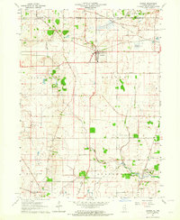
Other maps of this area

1893 · Delavan
USGS Topo · 1:62,500

1893 · Geneva
USGS Topo · 1:62,500

1904 · Lake Geneva
USGS Topo · 1:62,500

1906 · Lake Geneva
USGS Topo · 1:62,500

1926 · Mc Henry
USGS Topo · 1:62,500

1932 · Harvard
USGS Topo · 1:48,000

1937 · Harvard
USGS Topo · 1:62,500

1944 · McHenry
USGS Topo · 1:62,500

1954 · Rockford
USGS Topo · 1:250,000

1955 · Rockford
USGS Topo · 1:250,000