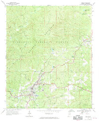
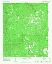
1967 Map of Heflin
USGS Topo · Published 1970About this map
The Southern railroad line anchors the local geography here, cutting through the southern landscape and passing directly through the community of Heflin. This 1967 survey captures a period of established local infrastructure, where the Talladega National Forest occupies much of the northern terrain, dominated by the ridge of Brymer Mountain and Flag Mtn. The map reveals a high concentration of sites for genealogical research, including numerous family and community burial grounds such as Heflin Cem, Black Cem, and Old Liberty Cem.
Find a feature on this map
38 named features on this map. Tap any name to fly to it.
Don’t see what you’re looking for? This feature index may not catch every label — zoom into the map to look around manually.
Map Details
Editions of this 1967 Heflin Map
3 editions found
Other maps of this area

1889 · Tallapoosa
USGS Topo · 1:125,000

1892 · Tallapoosa
USGS Topo · 1:125,000

1897 · Tallapoosa
USGS Topo · 1:125,000

1900 · Anniston
USGS Topo · 1:125,000

1953 · Atlanta
USGS Topo · 1:250,000

1954 · Choccolocco
USGS Topo · 1:24,000

1957 · Atlanta
USGS Topo · 1:250,000

1958 · Atlanta
USGS Topo · 1:250,000
1966 · Hightower
USGS Topo · 1:24,000
1966 · Oak Level
USGS Topo · 1:24,000