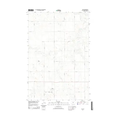
2014 Map of Heil
USGS Topo · Published 2014About this map
Heil sits at the heart of this North Dakota landscape, situated along ND-21 and surrounded by a vast grid of section roads like 61st Ave SW. The map documents a classic Great Plains settlement pattern where the small town center serves as an anchor for the surrounding agricultural community. To the south of the townsite, genealogists will find the Prairie View Cem and Peace Cem, providing key data points for local family history research. The terrain is defined by low-lying drainages and higher elevations such as Elm Butte, which stands out against the undulating prairie. Waterways like Antelope Cr wind across the northern and central portions of the quadrangle, illustrating the natural drainage patterns of Grant County before they meet larger river systems.
Find a feature on this map
19 named features on this map. Tap any name to fly to it.
Don’t see what you’re looking for? This feature index may not catch every label — zoom into the map to look around manually.
Map Details
Editions of this 2014 Heil Map
This is the sole edition of this map. No revisions or reprints were ever made.
Other maps of this area

1938 · Heart Butte
USGS Topo · 1:48,000

1944 · Heart Butte
USGS Topo · 1:62,500

1954 · Bismarck
USGS Topo · 1:250,000

1958 · Bismarck
USGS Topo · 1:250,000

1972 · Carson SE
USGS Topo · 1:24,000

1972 · Leith
USGS Topo · 1:24,000

1972 · Sheep Creek Dam
USGS Topo · 1:24,000
1980 · Lake Tschida East
USGS Topo · 1:24,000

1980 · Crown Butte Creek SE
USGS Topo · 1:24,000

1980 · Heil
USGS Topo · 1:24,000