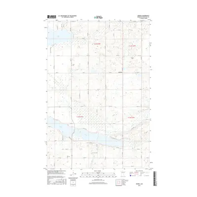
2016 Map of Heinola
USGS Topo · Published 2016About this map
Heinola sits at the heart of this central Minnesota landscape, a region defined by its dense concentration of glacial lakes and river systems. The southern portion of the quadrangle is dominated by the connected waters of W Leaf Lake and E Leaf Lake, which feed into the meandering course of the Leaf River. To the northwest, the map captures a significant portion of Rush Lake, highlighting the extensive shoreline and low-lying wetlands that characterize the Otter Tail County terrain. Genealogists and local historians can locate several rural burial grounds that serve as markers of the area's early settlement, including Prairie Cem, Woodland Cem, and Leaf Lake Cem. The map illustrates a strictly surveyed grid of county highways and township roads, such as Co HWY 54 and Co HWY 67, that navigate around the complex hydrography of creeks like Willow Cr.
Find a feature on this map
57 named features on this map. Tap any name to fly to it.
Don’t see what you’re looking for? This feature index may not catch every label — zoom into the map to look around manually.
Map Details
Editions of this 2016 Heinola Map
This is the sole edition of this map. No revisions or reprints were ever made.
Other maps of this area

1912 · Battle Lake
USGS Topo · 1:62,500

1914 · Battle Lake
USGS Topo · 1:62,500

1915 · Perham
USGS Topo · 1:62,500

1953 · Brainerd
USGS Topo · 1:250,000

1957 · Brainerd
USGS Topo · 1:250,000

1958 · Brainerd
USGS Topo · 1:250,000

1965 · Brainerd
USGS Topo · 1:250,000

1969 · Henning
USGS Topo · 1:24,000

1969 · Henning SE
USGS Topo · 1:24,000

1969 · Heinola
USGS Topo · 1:24,000