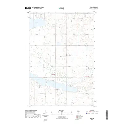
2019 Map of Heinola
USGS Topo · Published 2019About this map
Heinola serves as the central community in this portion of Otter Tail County, situated amidst a landscape defined by glacial lakes and winding waterways. The eastern flow of the Leaf River connects West Leaf Lake and East Leaf Lake, while Rush Lake dominates the northern territory. This drainage pattern, including Willow Cr, has historically influenced the placement of rural homesteads and agricultural roads that follow the section lines of the Public Land Survey System.
Find a feature on this map
57 named features on this map. Tap any name to fly to it.
Don’t see what you’re looking for? This feature index may not catch every label — zoom into the map to look around manually.
Map Details
Editions of this 2019 Heinola Map
This is the sole edition of this map. No revisions or reprints were ever made.
Other maps of this area

1912 · Battle Lake
USGS Topo · 1:62,500

1914 · Battle Lake
USGS Topo · 1:62,500

1915 · Perham
USGS Topo · 1:62,500

1953 · Brainerd
USGS Topo · 1:250,000

1957 · Brainerd
USGS Topo · 1:250,000

1958 · Brainerd
USGS Topo · 1:250,000

1965 · Brainerd
USGS Topo · 1:250,000

1969 · Henning
USGS Topo · 1:24,000

1969 · Henning SE
USGS Topo · 1:24,000

1969 · Heinola
USGS Topo · 1:24,000