
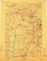
1903 Map of Helena
USGS Topo · Published 1903About this map
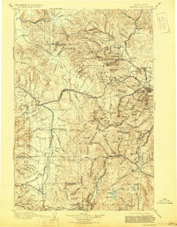
The Continental Divide serves as the spine of this early-century survey, separating the headwaters of the Blackfoot River from the urban and industrial hubs of the Rockies. Helena and Butte anchor the region, connected by the competing corridors of the Northern Pacific R.R. and the Great Northern Ry. This era shows the landscape at the height of its primary resource extraction, with mining settlements like Marysville, Rimini, and Wickes scattered through the mountain basins. To the west, Anaconda stands as a focal point for smelting, while the network of mountain passes such as Mullan Pass and Priests Pass facilitate transit through the difficult terrain. The survey captures a world of specialized geography, from the Scratchgravel Hills to the military outpost at Ft. Harrison, illustrating the rapid development of Montana's territorial infrastructure.
Find a feature on this map
177 named features on this map. Tap any name to fly to it.
Don’t see what you’re looking for? This feature index may not catch every label — zoom into the map to look around manually.
Map Details
Editions of this 1903 Helena Map
4 editions found
Other maps of this area

1886 · Great Falls
USGS Topo · 1:250,000

1886 · Fort Logan
USGS Topo · 1:250,000

1888 · Three Forks
USGS Topo · 1:250,000

1889 · Helena
USGS Topo · 1:250,000

1893 · Helena
USGS Topo · 1:250,000

1893 · Dillon
USGS Topo · 1:250,000

1894 · Three Forks
USGS Topo · 1:250,000

1895 · Three Forks
USGS Topo · 1:250,000

1899 · Boulder
USGS Topo · 1:125,000

1899 · Helena
USGS Topo · 1:62,500