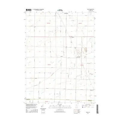
2016 Map of Helena
USGS Topo · Published 2016About this map
Gibsonburg and Helena anchor this agricultural region of northwestern Ohio where the landscape is defined by a dense network of country roads and drainage features. The map illustrates how the rural economy is tied to the local water systems, including Flechtner Ditch and Gries Ditch, which channel water toward Muddy Cr. This 2016 survey captures the precise layout of several small communities like Millersville, Tinney, and Burgoon, providing a clear look at their modern footprints. For genealogists, the map is particularly useful for locating smaller rural burial sites, including Metzgar Cem, Saint Marys Cem, and Quinshan Cem. The transition from Sandusky County into Seneca County is visible at the southern edge near Squires, showing how these long-standing political boundaries intersect with the natural flow of Muskellunge Cr.
Find a feature on this map
107 named features on this map. Tap any name to fly to it.
Don’t see what you’re looking for? This feature index may not catch every label — zoom into the map to look around manually.
Map Details
Editions of this 2016 Helena Map
This is the sole edition of this map. No revisions or reprints were ever made.
Other maps of this area
1901 · Fostoria
USGS Topo · 1:62,500
1901 · Fremont
USGS Topo · 1:62,500
1901 · Elmore
USGS Topo · 1:62,500
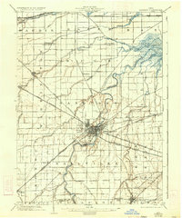
1903 · Fremont
USGS Topo · 1:62,500
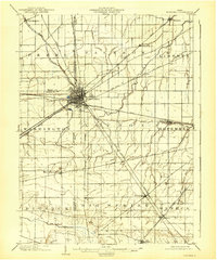
1903 · Fostoria
USGS Topo · 1:62,500
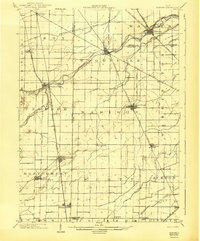
1903 · Elmore
USGS Topo · 1:62,500
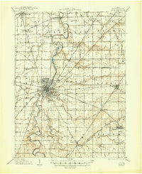
1906 · Tiffin
USGS Topo · 1:62,500
1956 · Toledo
USGS Topo · 1:250,000
1957 · Lindsey
USGS Topo · 1:24,000
1958 · Fremont West
USGS Topo · 1:24,000