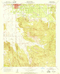
1953 Map of Hemet
USGS Topo · Published 1955About this map
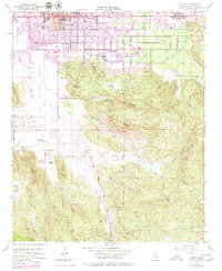
The agricultural and ranching landscape of the San Jacinto Valley is captured here in the mid-1950s, a period of transition before rapid suburban expansion. The city of Hemet serves as the primary hub, surrounded by a grid of orchards and local settlements such as Valle Vista. To the south, the terrain rises sharply into the Santa Rosa Hills, where the map reveals a more traditional ranching economy represented by Mission Ranch and the small siding at Johnston. These features reflect a moment when the region's economy was still deeply tied to the land and its citrus groves, with the irrigation patterns and mountain canyons dictating the limits of settlement. The survey work, oversaw by State Engineer A. D. Edmonston, provides a precise record of these homesteads and infrastructure at the edge of the wilderness.
Find a feature on this map
4 named features on this map. Tap any name to fly to it.
Don’t see what you’re looking for? This feature index may not catch every label — zoom into the map to look around manually.
Map Details
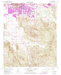
Editions of this 1953 Hemet Map
6 editions found
Other maps of this area

1901 · Southern California Sheet No. 1
USGS Topo · 1:250,000

1901 · San Jacinto
USGS Topo · 1:125,000

1901 · Elsinore
USGS Topo · 1:125,000

1904 · Southern California Sheet No. 1
USGS Topo · 1:250,000

1942 · Banning
USGS Topo · 1:62,500

1942 · Hemet
USGS Topo · 1:62,500

1942 · Murrieta
USGS Topo · 1:62,500

1942 · Perris
USGS Topo · 1:62,500

1943 · Perris
USGS Topo · 1:62,500

1943 · Hemet
USGS Topo · 1:62,500