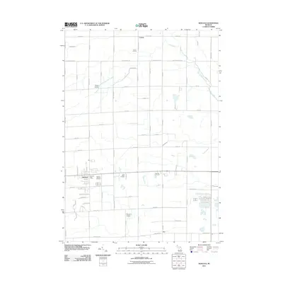
2011 Map of Hemlock
USGS Topo · Published 2011About this map
Hemlock and the surrounding farmland of Saginaw County appear as a grid of section roads and drainage networks in this early 21st-century study. The landscape is heavily defined by its agricultural layout, punctuated by numerous historic burial grounds including Richland Township Cemetery, Richland Lutheran Cemetery, and Saint Marys Cemetery. These sites, along with Saint John's Lutheran Cemetery further south, provide significant touchstones for local genealogical research within Richland Township.
Find a feature on this map
70 named features on this map. Tap any name to fly to it.
Don’t see what you’re looking for? This feature index may not catch every label — zoom into the map to look around manually.
Map Details
Editions of this 2011 Hemlock Map
This is the sole edition of this map. No revisions or reprints were ever made.
Other maps of this area

1917 · St. Charles
USGS Topo · 1:62,500

1934 · Sanford
USGS Topo · 1:62,500

1934 · Merrill
USGS Topo · 1:62,500

1936 · Sanford
USGS Topo · 1:62,500

1937 · Merrill
USGS Topo · 1:62,500

1943 · St. Charles
USGS Topo · 1:62,500

1954 · Midland
USGS Topo · 1:250,000

1958 · Midland
USGS Topo · 1:250,000

1959 · Midland
USGS Topo · 1:250,000

1962 · Midland South
USGS Topo · 1:24,000
Featured Places
- Hemlock, MI
- Fremont Township, MI
- Tittabawassee Township, MI
- Richland Township, MI
- Ingersoll Township, MI