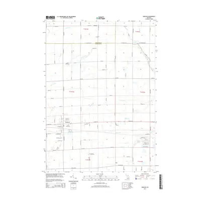
2014 Map of Hemlock
USGS Topo · Published 2014About this map
Hemlock serves as the central hub of this agricultural landscape in Saginaw County, where the transition from Midland County is marked by the course of W Tittabawassee Rd. The settlement pattern is defined by a dense network of drainage systems essential to local farming, including Fleming Drain, Whitmore Drain, and Abbey Drain, which feed into larger waterways like Swan Creek. The map provides significant detail for genealogists, pinpointing several local burial grounds such as Richland Township Cem and Saint Marys Cem. Small rural hamlets like Laporte and Orr are linked by a rigid grid of roads, many bearing family names like N Gleaner Rd and N Rauchholz Rd. This layout reflects the enduring influence of the Public Land Survey System on Michigan's interior, maintaining a patchwork of townships and range sections that has changed little since the nineteenth century.
Find a feature on this map
92 named features on this map. Tap any name to fly to it.
Don’t see what you’re looking for? This feature index may not catch every label — zoom into the map to look around manually.
Map Details
Editions of this 2014 Hemlock Map
This is the sole edition of this map. No revisions or reprints were ever made.
Other maps of this area

1917 · St. Charles
USGS Topo · 1:62,500

1934 · Sanford
USGS Topo · 1:62,500

1934 · Merrill
USGS Topo · 1:62,500

1936 · Sanford
USGS Topo · 1:62,500

1937 · Merrill
USGS Topo · 1:62,500

1943 · St. Charles
USGS Topo · 1:62,500

1954 · Midland
USGS Topo · 1:250,000

1958 · Midland
USGS Topo · 1:250,000

1959 · Midland
USGS Topo · 1:250,000

1962 · Midland South
USGS Topo · 1:24,000
Featured Places
- Hemlock, MI
- Fremont Township, MI
- Tittabawassee Township, MI
- Richland Township, MI
- Ingersoll Township, MI