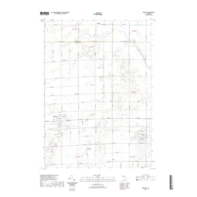
2019 Map of Hemlock
USGS Topo · Published 2019About this map
The settlement of Hemlock serves as the primary hub of this Saginaw County landscape, where the flat, fertile plains are defined by an intricate network of agricultural water management. Numerous engineered waterways, including Whitmore Drain, Abbey Drain, and Badger Drain, intersect the grid of township roads, illustrating the systematic drainage of the region to support its long-standing farming tradition. This 2019 survey provides a clear view of the rural-to-suburban transition, particularly around Ernie's Field and the newer residential layouts north of Swan Creek.
Find a feature on this map
88 named features on this map. Tap any name to fly to it.
Don’t see what you’re looking for? This feature index may not catch every label — zoom into the map to look around manually.
Map Details
Editions of this 2019 Hemlock Map
This is the sole edition of this map. No revisions or reprints were ever made.
Other maps of this area

1917 · St. Charles
USGS Topo · 1:62,500

1934 · Sanford
USGS Topo · 1:62,500

1934 · Merrill
USGS Topo · 1:62,500

1936 · Sanford
USGS Topo · 1:62,500

1937 · Merrill
USGS Topo · 1:62,500

1943 · St. Charles
USGS Topo · 1:62,500

1954 · Midland
USGS Topo · 1:250,000

1958 · Midland
USGS Topo · 1:250,000

1959 · Midland
USGS Topo · 1:250,000

1962 · Midland South
USGS Topo · 1:24,000
Featured Places
- Hemlock, MI
- Fremont Township, MI
- Tittabawassee Township, MI
- Richland Township, MI
- Ingersoll Township, MI