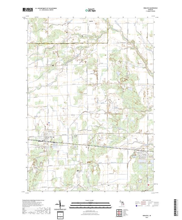
2023 Map of Hemlock
USGS Topo · Published 2023About this map
The unincorporated community of Hemlock serves as a primary anchor in this portion of Saginaw County, situated along the corridor formed by Gratiot Rd. The landscape is defined by an extensive network of drainage infrastructure, such as Whitmore Drain and Badger Drain, which supports the agricultural productivity of the surrounding Saginaw Valley. This reliance on managed water is a defining characteristic of the local geography, visible in the numerous named runs and drains that feed into Swan Creek.
Find a feature on this map
92 named features on this map. Tap any name to fly to it.
Don’t see what you’re looking for? This feature index may not catch every label — zoom into the map to look around manually.
Map Details
Editions of this 2023 Hemlock Map
This is the sole edition of this map. No revisions or reprints were ever made.
Other maps of this area

1917 · St. Charles
USGS Topo · 1:62,500

1934 · Sanford
USGS Topo · 1:62,500

1934 · Merrill
USGS Topo · 1:62,500

1936 · Sanford
USGS Topo · 1:62,500

1937 · Merrill
USGS Topo · 1:62,500

1943 · St. Charles
USGS Topo · 1:62,500

1954 · Midland
USGS Topo · 1:250,000

1958 · Midland
USGS Topo · 1:250,000

1959 · Midland
USGS Topo · 1:250,000

1962 · Midland South
USGS Topo · 1:24,000