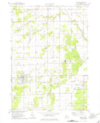
1975 Map of Hemlock
USGS Topo · Published 1978About this map
The unincorporated community of Hemlock serves as the focal point of this mid-1970s survey, where the Chesapeake and Ohio railroad corridor anchors the local economy. The landscape is a detailed grid of agricultural drainage, featuring the Fleming Drain and Laporte Drain, which reflect the extensive efforts to manage the water table in this part of Saginaw County. A unique industrial layer is visible through numerous Brine Wells scattered across the Ingersoll and Richland townships, signaling the region's historical connection to the chemical and salt industries.
Find a feature on this map
85 named features on this map. Tap any name to fly to it.
Don’t see what you’re looking for? This feature index may not catch every label — zoom into the map to look around manually.
Map Details
Editions of this 1975 Hemlock Map
This is the sole edition of this map. No revisions or reprints were ever made.
Other maps of this area
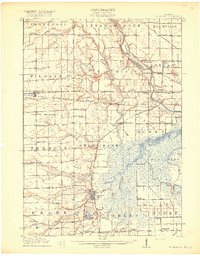
1917 · St. Charles
USGS Topo · 1:62,500
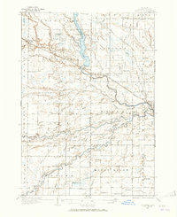
1934 · Sanford
USGS Topo · 1:62,500
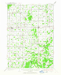
1934 · Merrill
USGS Topo · 1:62,500
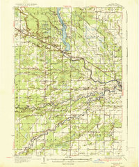
1936 · Sanford
USGS Topo · 1:62,500
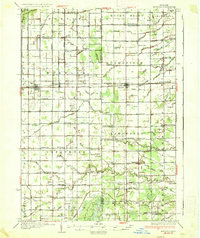
1937 · Merrill
USGS Topo · 1:62,500
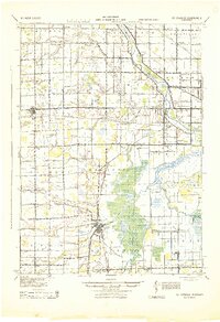
1943 · St. Charles
USGS Topo · 1:62,500

1954 · Midland
USGS Topo · 1:250,000

1958 · Midland
USGS Topo · 1:250,000

1959 · Midland
USGS Topo · 1:250,000
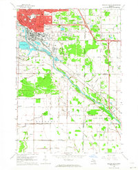
1962 · Midland South
USGS Topo · 1:24,000