Loading...
Loading map...2022 Map of Hempstead
USGS Topo · Published 2022About this map
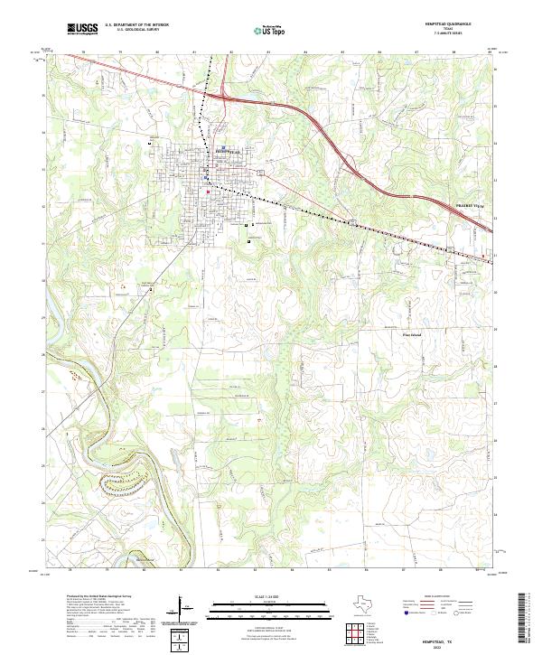
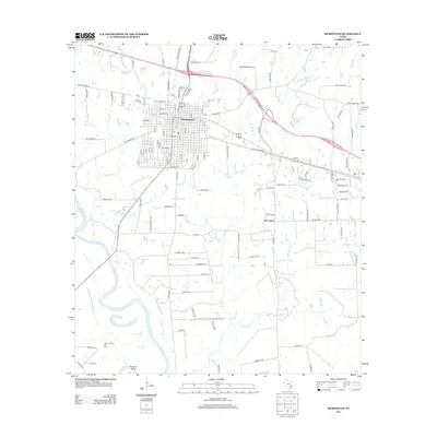
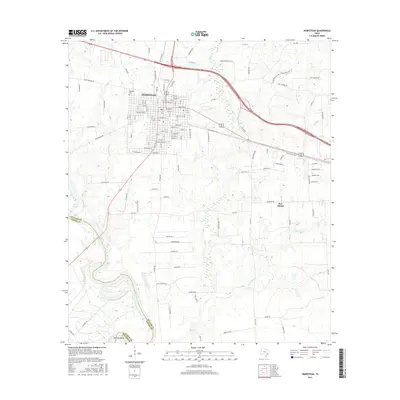
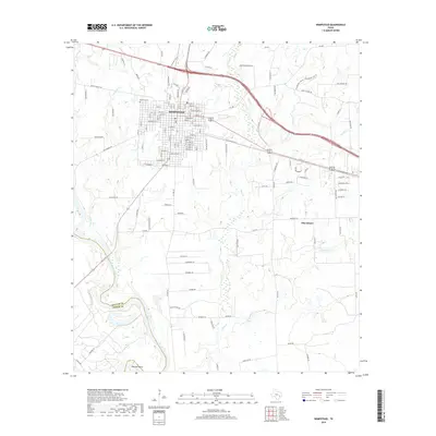
The Waller County Courthouse stands as the civic centerpiece of Hempstead, a town defined by its grid of historic street names including Austin St, Washington St, and New Orleans St. This Texas landscape is marked by its numerous burial grounds, such as Oakwood Cem to the north and the Hebrew Cem and Hempstead Cem near the town center, providing a clear record of the community’s diverse heritage.
Find a feature on this map
133 named features on this map. Tap any name to fly to it.
Don’t see what you’re looking for? This feature index may not catch every label — zoom into the map to look around manually.
Map Details
Date Portrayed2022
Date Published2022
PublisherU.S. Geological Survey
Map TypeTopographic
Scale1:24,000
Physical Dimensions24 x 29 inches
Editions of this 2022 Hempstead Map
This is the sole edition of this map. No revisions or reprints were ever made.
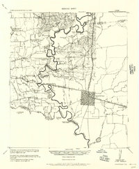
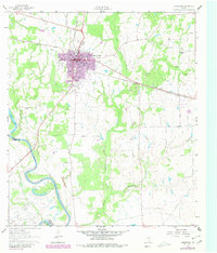
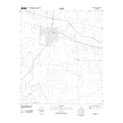
Historical Maps of Prairie View Through Time
7 maps found
Featured Locations
Source Details
SourceU.S. Geological Survey
CopyrightPublic Domain